National Weather Service, Sacramento
VANDENBERG AIR FORCE BASE (AP/KTXL)-
According to the Associated Press, a NASA satellite has launched on a three-year mission to measure and map out the moisture in our soil.
The Delta 2 rocket is carrying a Soil Moisture Active Passive, also called a SMAP. The SMAP, according to NASA, will produce global maps of soil moisture, which will help improve our understanding of Earth’s water and carbon cycles, and our ability to manage water resources.
It’ll take some time before project managers know if the satellite separated from the rocket, according to AP. JPL manages the $916 million mission, which is designed to last at least three years.
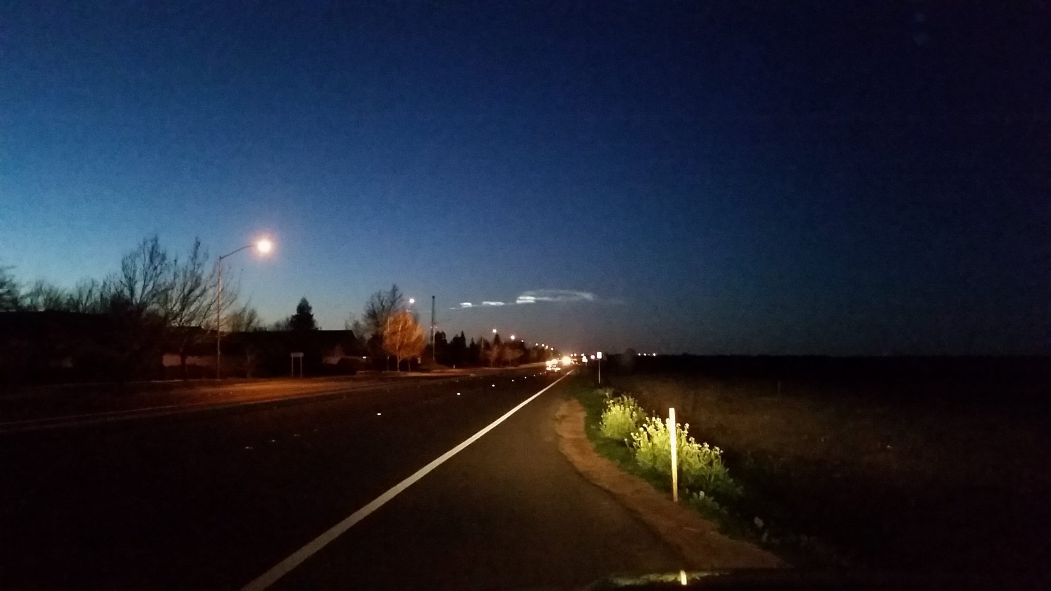
According to the US National Weather Service in Sacramento, the rocket left a visible trail in the sky that could be seen across the valley.
Fans of FOX40 sent in several pictures of the silvery phenomenon, and you can too. If you caught a good look of the rocket trail, feel free to email in your pictures to web@FOX40.com so that we can add them to the collection!
