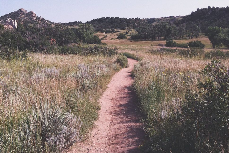
15 Best Day Hikes: Readers’ Choice Edition

Here they are: the 15 best day hikes, as told by our readers. All of the words and images below are straight from your submissions to our GP best hikes competition.

Hanging Rock Reader Hike Gear Patrol4 Mike Gilger

Here they are: GP’s best day hikes, as told by our readers. All of the words and images below are straight from your submissions to our GP best hikes competition. We edited and condensed as necessary (some of you really like to type) and shot for widest possible range of locations and types of stories. What we were left with is a diverse hodgepodge of outdoor activity, organized from west to east, starting with Hawaii in the Pacific and ending with St. John in the Atlantic. Without further ado: 15 favorite hiking destinations, as told by GP readers, for GP readers.

HIKING-PROMO-650X100

Hawaii


Trails and Leis


Kalalau Trail

How Long: 22 miles in its entirety
Found In: Kauai, Hawaii
Which Is: The opening to Jurassic Park
Reader Story: Here are a few shots from a recent day hike I did on the Kalalau Trail along the Napali Coast in Kauai, Hawaii. Hope one of them might make the cut. Enjoy.
– A.J. Bertone

Alaska


Never mapped to modern standards


Reed Lakes Day Hike

How Long: 8 miles
Found In: Hatcher Pass, Palmer, Alaska
Which Is: 56 miles north of Anchorage
Reader Story: I can’t tell you how many good memories are attached to this hike. My dad and I talked about a lot of different things on this trail while I was growing up. It was where, I realized later in life, I did most of my learning. Now, having grown up, I still enjoy this hike for not only the beautiful scenery but those memories that come back to me as I head up the trail. I love going first thing in the morning, which in an Alaskan summer is pretty early! There’s no people — just me, some songbirds, and the parky squirrels.
– Benjamin Mulligan

Alaska-Reader-Hikes-Gear-Patrol

Upper American river to float plane take-out

How Long: 2 miles
Found In: Katmai National Park, Alaska
Which Is: Southwest of Anchorage
Reader Story: The attached photo is of father Dunham, wearing waders with a fly rod in hand, on the 2-mile trek between the Upper American River and the float plane take-out in Katmai National Park, Alaska.
– Ryan Jewett

Washington


The Evergreen State


Ape Cave & Various

How Long: 2.6 miles for Ape Cave
Found In: Mt. Saint Helens State Park, Cougar, WA
Which Is: 90 minutes north of Portland; 3 hours south of Seattle
Reader Story: I’m submitting Mt. Saint Helens State Park as one of the best day hike locations in the country. It’s a decently short drive from Portland and Seattle, and is an amazing cross between Rocky Mountain National Park and Volcanoes National Park. It has rugged mountains with the novelty of its volcanic history. The place is seriously amazing, and it’s a mystery to me why it’s not a National Park yet.

I have attached pictures from three different hikes. The cave one is from a trail called Ape Caves. It’s an underground hike that takes you over a mile underground in a lava tube on Mount Saint Helens. The picture with the drawbridge is a hike through a valley that was cleared out by landslides during the eruption, which cleared away the dirt that buried a lava rock valley. The other pictures are from a hike that follows a river that runs off the mountains. It has some of the coolest lush green trails and amazing waterfalls.
– Andrew Roberson

California


The Golden State


Young Lakes

How Long: 16.4 miles
Found In: Yosemite National Park, California
Which Is: 4.5 hours east of San Francisco
Reader Story: This was my first hike out west and it left a lasting impression on me. I set out from Tuolumne Meadows with four friends early in the morning. It was a lovely June weekday, so there weren’t all that many people on the trail, and nobody after passing the cutoff to Lembert Dome. We stopped and ate lunch on a giant granite boulder while watching the sun glint off the white peaks of the Sierra to the southwest. The noble Cathedral Peak stood guard over its shorter cousins, Cockscomb and Unicorn Peak, to the east.

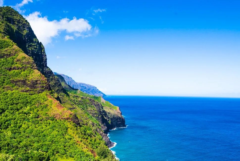
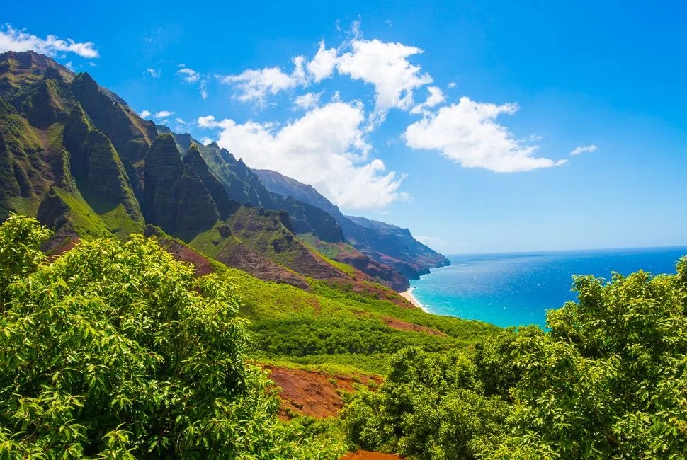
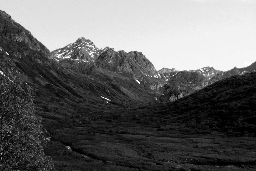
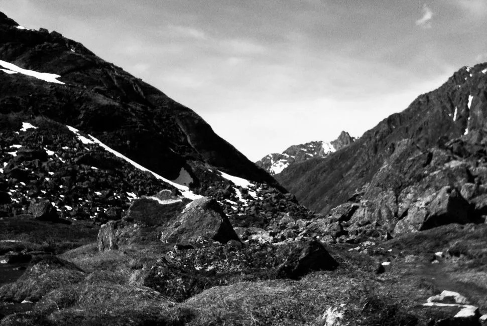
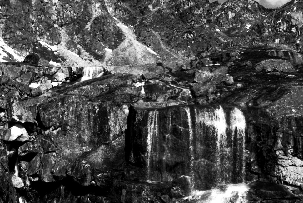
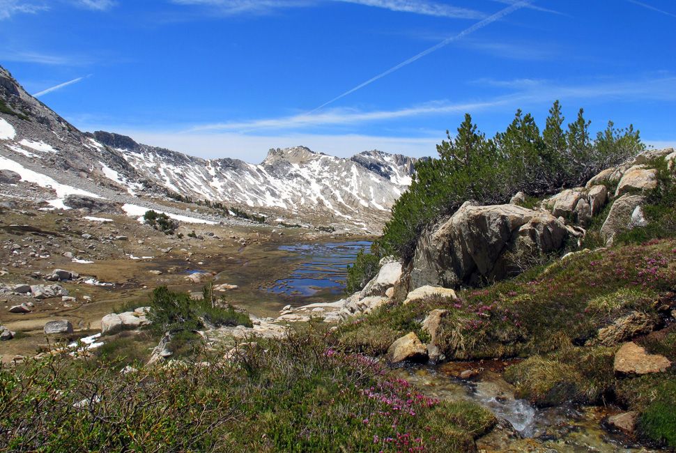
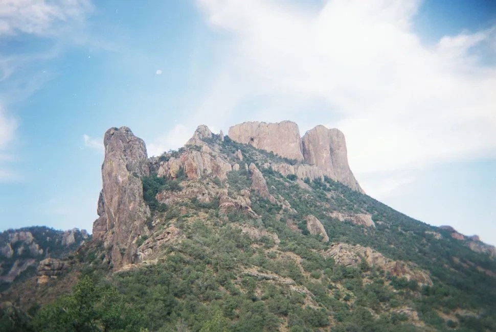
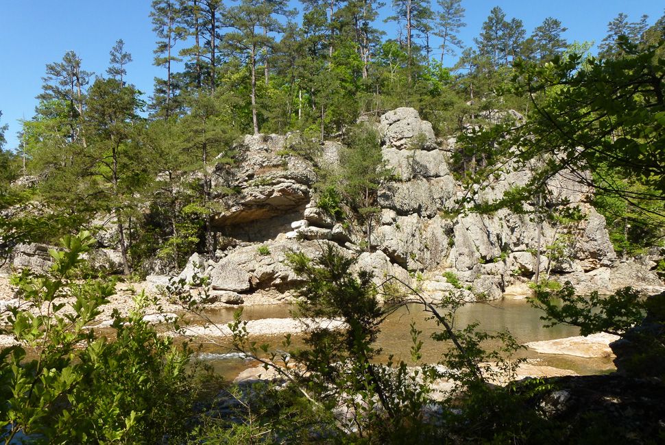
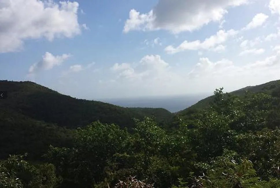
After lunch, we set off for the summit of Ragged Peak. Small, gnarled conifers, stunted by the harshness of the conditions — hot sun during the summer, strong winds, and icy cold during the winter — dotted the slope. We reached the summit, climbed around one of the spires and chimneyed up to the apex, no more than a square meter in size. Below us, the Sierra lay in all its resplendent beauty. To the northeast, we could see the three tiered Young Lakes, their deep blue reflecting the brilliant, cloudless cyan sky, contrasting the pale white of the granite peaks behind them. We carefully made our way down from the peak and then to the col, which led to the lakes themselves. Loose talus and scree gave way beneath our feet so we plunge-stepped our way down the slope, shouting with exuberance. We made our way down to the lakes.

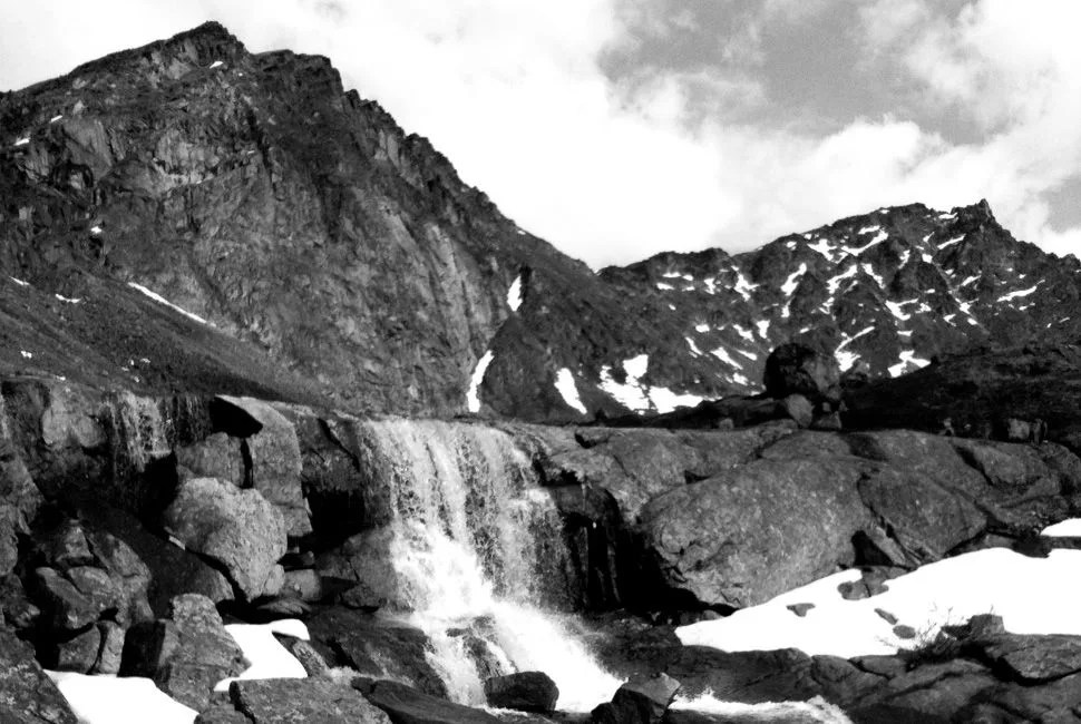
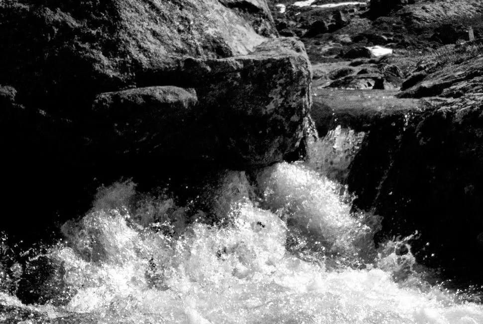
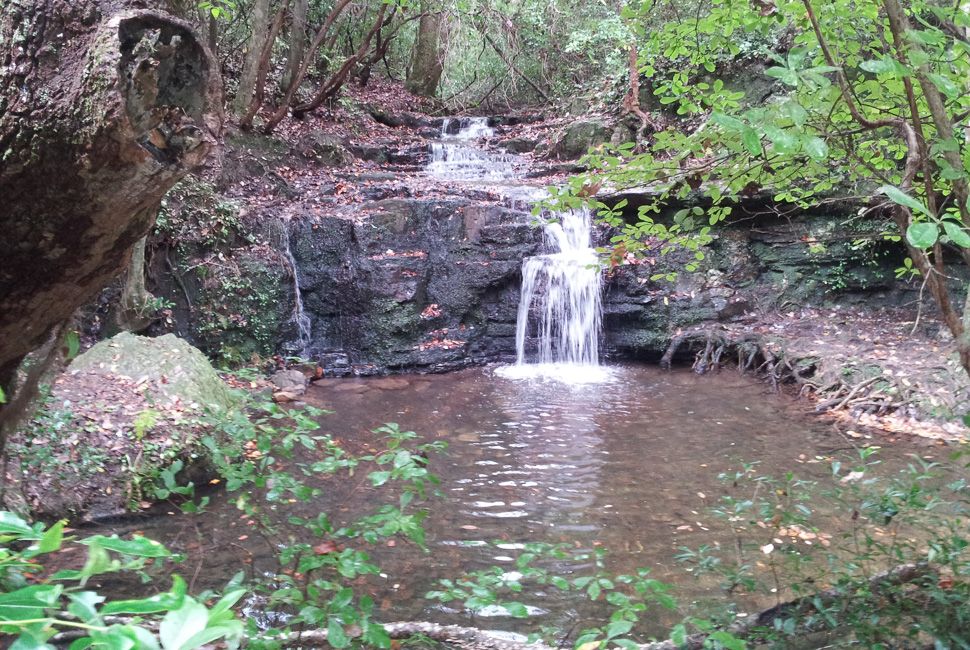
Tired after our hike, we decided to take a dip. This was short lived, as the glacial-fed lakes still had snow around them, but the dive in invigorated us like nothing else. Every cell in our bodies seemed to be, for that one moment, completely alive. A few nips of whiskey and we were ready to head back. We filled our water bottles from the glacial melt. The water was cold, crisp, and clean. I have never had water more delicious. Our route back followed a different section of trail to the meadows. This one passed through Lodgepole pine stands, sentinels of the forest, as we rapidly descended. Finally, we reached our car in the late evening just as the sun began to set, the alpenglow alighting the mountains in pastels of orange and pink.
– Tomasz Falkowski

Learn More: Here (Yosemite National Park)

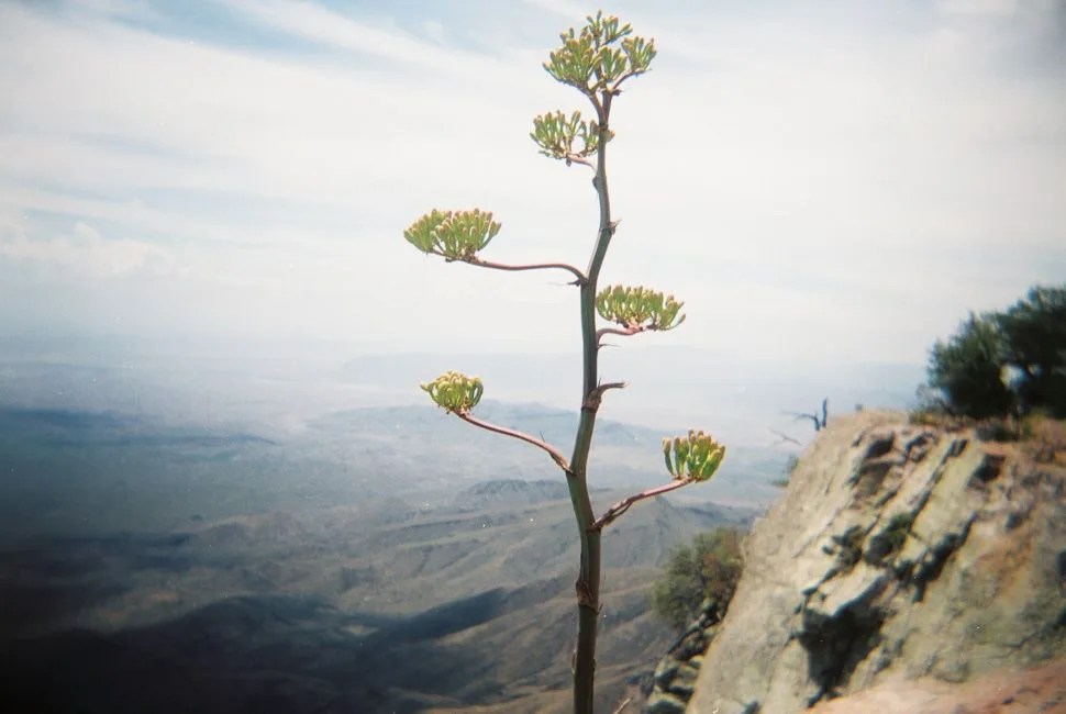
John Muir Trail and Pacific Crest Trail

How Long: Various, readers did 55 and 34 miles respectively
Found In: Sierra Nevada Mountain Range, California
Which Is: 2 hours northeast of Fresno, CA
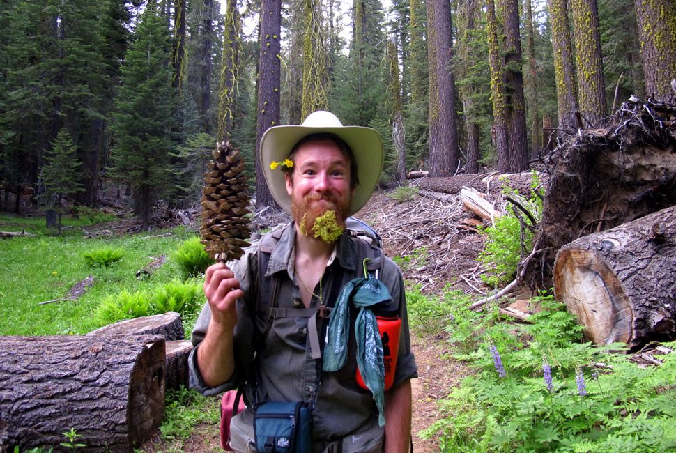
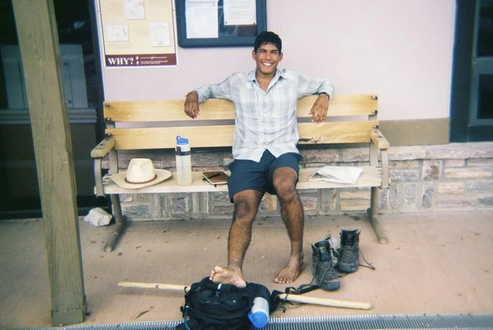
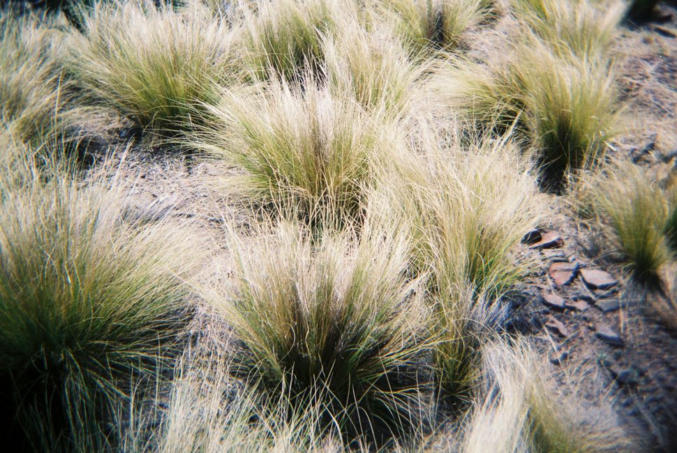
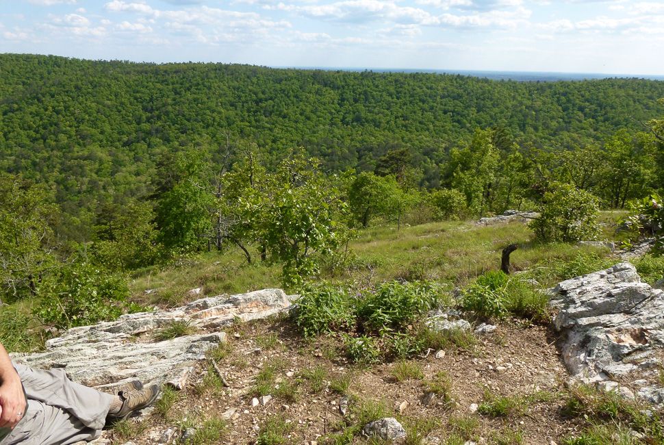
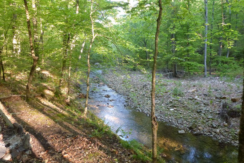
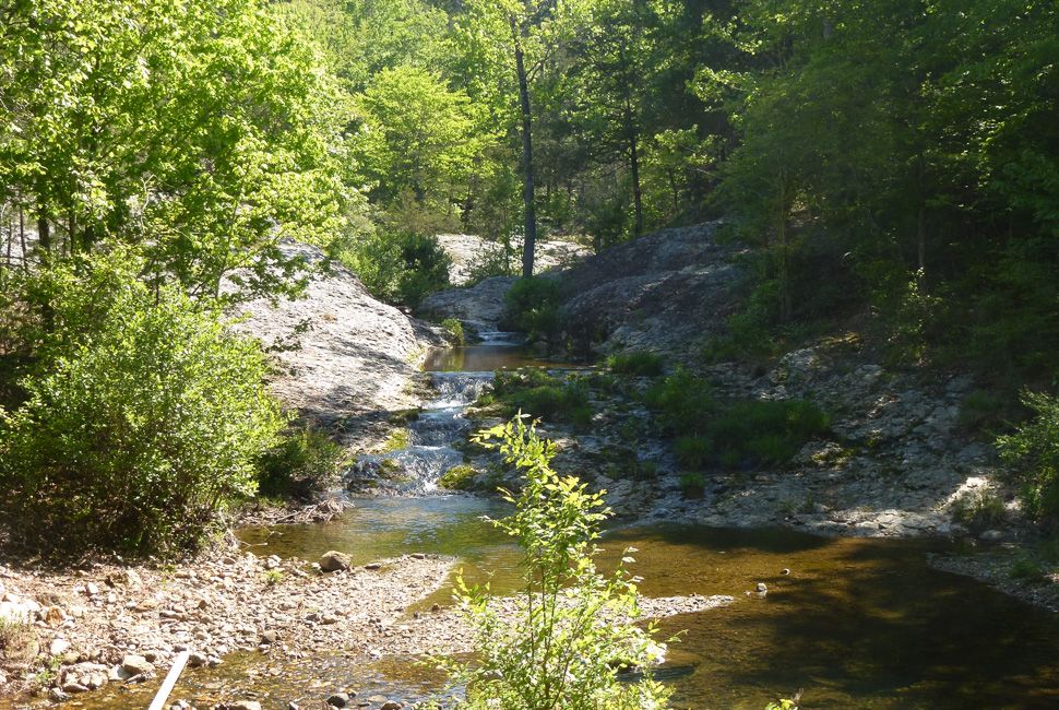
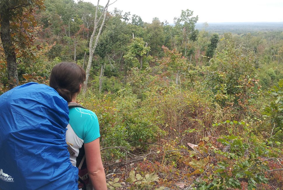
Reader Stories: Better late than never. I’m writing this quick while I’m at work. I got back last week from hiking in the Ansel Adams Wilderness with a friend of mine. We spent four days and 55 miles hiking the John Muir Trail and the Pacific Crest Trail. We came across a bear standing on its hind legs staring at us at night on the trail (didn’t take pictures of that, sorry); our gear broke left and right (including my pack, bladder, and water filter); a pack of coyotes surrounded our tent hollering; there were tons of lakes and plenty of great views. Great trip. We wish it could have been longer. I shot all these photographs on my grandfather’s Minolta SRT Super 35mm and developed them at my place when I got back. (So the color you see is the color you get, except for some scratch cleanup.)
– Toma Bowen

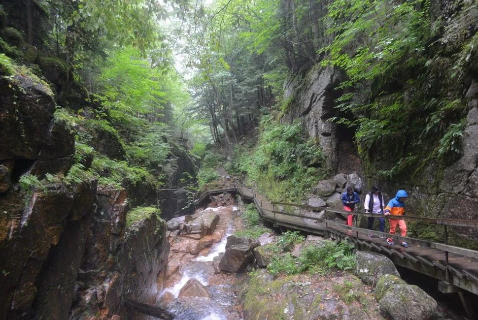
Earlier this summer, I had the opportunity to spend a few weeks on the John Muir Trail, going from north to south. To me, the trail that runs from Tuolumne Meadow to Red’s Meadow is one that should not be passed up by any self-respecting Gear Patrol reader.

At 34 miles, it is a bit long for a day hike, but I was passed by a group of ultra runners completing it in one day. For most people, this would be a weekend trip, and an amazing one at that, granted you can snag a permit for the backcountry.

Our photos are of the entire trip; they start at the Tuolumne Meadows trailhead. If anyone at Gear Patrol or GP readers take on this trail, make sure you finish up by 6 pm so that you can grab an incredible patty melt (we talked about it throughout the trip) from the Mule House Cafe and a sixer of Double Nut Brown to wash it down.
– Leon Dagdagan

Nevada


More than Vegas


Mt-Charleston-Reader-Hikes-Gear-Patrol

Near Mount Charleston

How Long: Unknown
Found In: Las Vegas, Nevada
Which Is: 30 minutes off the Strip
Reader Story: I hope you like the picture of our Australian Shepherd taking in the sights. This is an unmarked trail near Mount Charleston in Las Vegas, Nevada. This was a refuge for my dogs, my wife and me, during the crazy hot Nevada summers. Hard to contemplate photographing this only 30 minutes from the Strip. Our latest spots include Taos and Red River in New Mexico; the military keeps us on the move. Thanks.
– Brad Dellolacono, Weapons and Tactics Instructor Pilot at USAF

Colorado


Rocky Mountains and Big Rivers


Sand-Ramp-Reader-Hikes-Gear-Patrol

Sand Ramp Trail

How Long: 11 miles
Found In: Great Sand Dunes National Park and Preserve, Mosca, CO
Which Is: 4 hours south of Denver
Reader Story: Hello. I know your website is mostly for guys but I still think it’s full of good stuff and I check it regularly. (I have a slight gear obsession.) Anyways, I was recently reading about your recommended best hikes and thought I’d contribute a bit. As someone who led trail crews for three years, most of the pictures of me on trails are of me holding hand tools or chainsaws and this picture is no different (I’m the one in front of the group).

I’ve been fortunate enough to get paid to hike and work in some of the coolest places, but there are a few hikes that really stood out for me. One of these is the Sand Ramp Trail in Great Sand Dunes National Park and Preserve in Colorado, which is where this picture was taken. Hiking on sand is a great workout, and the views of the San Luis Valley formed by the Sangre de Cristo Mountains and San Juan Mountains are truly stunning.
– Laura Fremgen, Wildland Firefighter at Red River Fire Chasers

Ute-Trail-Reader-Hikes-Gear-PatrolCopyright 2014. All rights reserved.

Ute Trail

How Long: 4 miles
Found In: Garden of the Gods, Colorado Springs, CO
Which Is: 70 minutes south of Denver
Reader’s Story: This is a relaxed, scenic day hike. The place tends to fill up, so an early start is best!
– Leah Sorensen

Texas


Big and Proud


Big Bend National Park

How Long: 19 miles
Found In: Chihuahuan Desert, TX
Which Is: Pretty far from everything, actually
Reader Story: Big Bend National Park is just about my favorite place…except maybe a hundred miles north in the Davis Mountains. I graduated from Rice University (B.S. Geology) and just started the PhD program at UT Austin. I thought, before I got going, that it’d be nice to take a solo trip in mid-June. It lasted about two weeks. I got lonely after a while, pinging around Ft. Davis, Alpine and Big Bend. Here are some photos from the trip. I shot them with a Holga 120 on Fujicolor Pro 400H because I’m an idiot and think it makes things look pretty.

I guess I’m kind of cheating, putting in two trails. Casa Grande is the big rock overlooking the Chisos Basin and the grassy looking one. It’s a straight hike up a talus slope and tons of fun. The century plant is the South Rim, because it’s famous and fun. The picture of me at the ranger station is after my very long day, where I did Pinnacles, Emory Peak, Northeast Rim, Southeast Rim, Southwest Rim and Laguna Meadows. Around 19 miles. I had an ice cream and tea to celebrate and was violently sick because I ate them too fast. The smile is because in that moment I felt great, the woman whom I asked to take a photo of me was very pretty, and I had no idea what was going to hit me in 15 minutes.
– Max Daniller-Varghese

Arkansas


The Natural State


Eagle Rock Loop

How Long: 26.8 miles
Found In: Ouachita National Forest, Hot Springs, AR
Which Is: 2 hours 15 minutes west of Little Rock
Reader Story: Hello. I live in North East Texas, but for me and my buds, the best hike around is the Eagle Rock Loop in the Ouachita National Forest, Arkansas. It takes two to three days and is beautiful and challenging. It’s in a National Forest, so campfires are allowed near trail as long as it is dead wood. There’s trout fishing, the trail is remote for excellent stargazing (not near smog or cities), trees are aplenty for hanging hammocks and there are rock formations, waterfalls and great views.
– Charles Harding

Georgia


Home of the Masters


Pine Mountain Trail

How Long: 23 miles
Found In: Pine Mountain, GA
Which Is: 90 minutes south of Atlanta
Reader Story: Growing up in the mountains of North Georgia it’s surprising that one of my favorite hikes is in the middle part of my state. The trail follows a ridge line that spans the length of FDR State Park. Lovely little waterfalls and excellent views of the flatland run along the entire length of this trail. At 23 or so miles, it’s a bit long for a normal day hike, but there are plenty of short and long loops to do. I hike the entire length normally in two days, as seen in the pictures with my wife, but if you are a quick hiker it can easily be done in a day (since you’re following a ridge the whole way there isn’t an enormous elevation gain).
– Zach Barbre

North Carolina


Home of the Research Triangle


Hanging Rock State Park

How Long: 1.3 miles for the view
Found In: Danbury, NC
Which Is: About an hour north of Greensboro
Reader Story: Neither Mike or I have lived near the mountains, so first up on our list was to explore the Blue Ridge. I wanted to find an epic view and Hanging Rock offered that.

The day was hazy, but not warm. It felt as if it was the first cool day in the mountains in quite a while. Everything was lush from a lot of rain and humidity, but the air had that first wave of fall on it. It was perfect. The mist rose above the edge of the mountains. By the time we reached Hanging Rock the mist was subsiding. After visiting the falls we put the dogs back in the car so we could hike to the epic hanging rock view. We were worried about letting them explore too much because of the cliffs. It is an environment they are not used to because it is different from northern Michigan.

Mike and I began the 1.3-mile hike up the mountain, which was absolutely one of the best hikes I have done in a while. It was rugged and really fun to leap between rocks and walk along the cliffs. The rock formations along the wall were gorgeous. As someone who is incredibly in love with the Earth and how it was formed, I was loving the textures and colors coming from these formations. I just kept stopping to just take it all in (and catch my breath). Poor Mike thought I was crazy.

When we finally reached the top I felt overwhelmed by the beauty of North Carolina. The view was out of this world and may only be topped by our time in Cape Town when we hiked Lion’s Head. The colors were something only North Carolina can offer with the blue haze over the mountains, the lush green below, and the multilayered quartz under our feet. It was one of the most inspiring things I have seen this year.
– Mike and Megan Gilger via their blog

New Hampshire


Hike Free or Die


Franconia-Notch-Reader-Hikes-Gear-Patrol

Trails at Franconia Notch

How Long: Various
Found In: Flume Gorge, Lincoln, NH
Which Is: 90 minutes north of Manchester
Reader Story: Here’s my entry for the Franconia Notch, White Mountains, NH day hike. Awesome.
– Kunal Kapur

St. John, US Virgin Islands


Unincorporated Territory of beautiful beaches


Reef Bay Trail/L’Esparance Trail Loop

How Long: 4.8 miles
Found In: St. John, USVI
Which Is: 90 miles east of San Juan, Puerto Rico
Reader’Story: Great 4.8-mile loop from near the highest point on the island to the sea and back up to another high point. Ancient petroglyphs, sugar mill ruins, and beautiful ocean views.
– Casey Carnes

,