MWC 2016: Facebook uses AI to map people's homes
- Published

Facebook has announced it will make highly detailed maps of places where it believes people are living available to the public later this year.
The social network has been using artificial intelligence software to scan satellite imagery and identify human-built structures.
It hopes to use the information to determine where internet-beaming drones would best be deployed.
But it suggests others could also make use of the maps.
"We believe this data has many more impactful applications, such as socio-economic research and risk assessment for natural disasters," Facebook said in a blog.
One expert raised concerns.
"I am torn in my reaction between excitement at the technical innovation and concern about the public policy issues," said Emily Taylor, an associate fellow at the Chatham House think tank.
"This takes knowing your customers to stalker-like levels."
But the British Red Cross charity said the initiative could potentially help it locate vulnerable communities.
Finer details
Facebook first detailed its work on the mapping project last year, in a briefing about its Aquila drones.
At the time, the social network's engineering chief, Jay Parikh, said the technology could spot structures as small as a tent.
He said the population maps it produced were many times more detailed than those of an alternative scheme co-ordinated by Columbia University, the Gridded Population of the World (GPW) project, which seeks to collate existing data.

"You look at the Middle East, and all of a sudden there are big splotches," he said of the GPW's maps.
"Your intuition says that's probably not how people are distributed in terms of living.
"We can be much more precise and exact [with our] fine grain level of information."
Big data
In its update - released to coincide with the Mobile World Congress tech show - Facebook said it had analysed 14.6 billion satellite images covering 20 countries. This had resulted in 350TB of data.
"Our final data set has a spatial resolution of 5m [16.4ft] and thereby improves over previous countrywide data sets by multiple orders of magnitude," it said.
It added, however, the task had not been without problems.
"While recognising structures in aerial imagery is a popular task in computer vision, scaling it to a global level came with additional difficulty.
"Aside from processing billions of images, finding buildings with high fidelity in rural areas is really a needle-in-a-haystack problem.
"Typically, more than 99% of the landmass we analyse does not contain any human-made structure, and it therefore poses a challenge for the machine learning algorithms to learn from such an unbalanced data set."
Directing drones
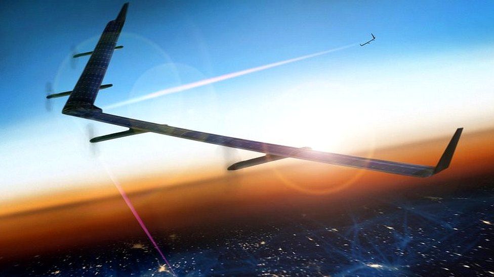
Facebook intends to use the maps to inform its Internet.org initiative, which aims to connect more people to the internet.
The company is currently developing drones that would extend internet signals beyond cities via lasers beamed between the aircraft.

Although it will be several years before Facebook hopes to have the technology ready, the maps could allow it to work out where the drones would have the most impact.
In the meantime, others hope the data could prove useful for their own efforts.
The Red Cross already has a map initiative of its own, the Missing Maps Project, developed in conjunction with the Humanitarian OpenStreetMap Team and Medecins Sans Frontieres.
It said the extra information could help the organisations respond more effectively to people in need.

"There are many areas globally that still remain off the digital map," said British Red Cross maps expert Andrew Braye.
"These areas are also home to vulnerable communities at risk from natural disasters or conflict.
"Organisations that share open data are enabling the humanitarian sector to respond more rapidly.
"The information is then available to emergency responders and assists with decision-making."

Follow all the BBC's MWC coverage via the Mobile World Congress 2016 tag in our news app.
You can also keep track of our technology correspondent Rory Cellan-Jones and the rest of the team covering the Barcelona event, via a dedicated Twitter list.
- Published23 February 2016
- Published11 November 2015